
Not everyone drives and it's not always straight forward to figure out how to get where you're going on public transportation, either. With Maps in Windows 10 you needn't worry. In a matter of moments you can bring up a route detailing which lines to get and where to change.
1. Open up "Maps" on your Windows 10 PC or tablet

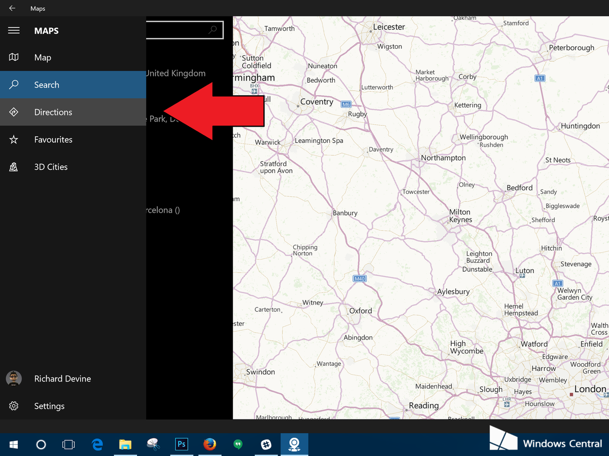
2. Select "Directions" from the hamburger menu
3. Change to "Public Transport"
The menu in front of you will have three icons at the top. One shaped like a car, one like a bus and one like a pedestrian. Select the one shaped like a bus.


4. Enter your start and finish points

You can either get super accurate and use your current location or just enter a local station or bus stop if you have that information to hand. But if you're in a strange place, location will probably work out better for you.
5. Select the route and time that suits you best

Maps will pull in information from a number of local public transport services to try and get you a suitable route. It'll list up a bunch of options depending on the current time of day, so it's perhaps not 100% useful for planning in advance if you want specific times.
It will however give you every step of the journey. This includes the time you'll need to spend walking to the nearest bus stop or train station. It'd be nice if we could share or print of the directions directly as you can with road navigation, but at least you get plenty of information to work with.
Get your public transport directions with Maps on Windows 10
Not everyone drives and it's not always straight forward to figure out how to get where you're going on public transportation, either. With Maps in Windows 10 you needn't worry. In a matter of moments you can bring up a route detailing which lines to get and where to change.


Not everyone drives and it's not always straight forward to figure out how to get where you're going on public transportation, either. With Maps in Windows 10 you needn't worry. In a matter of moments you can bring up a route detailing which lines to get and where to change.
1. Open up "Maps" on your Windows 10 PC or tablet
2. Select "Directions" from the hamburger menu
3. Change to "Public Transport"
The menu in front of you will have three icons at the top. One shaped like a car, one like a bus and one like a pedestrian. Select the one shaped like a bus.
4. Enter your start and finish points
You can either get super accurate and use your current location or just enter a local station or bus stop if you have that information to hand. But if you're in a strange place, location will probably work out better for you.
5. Select the route and time that suits you best
Maps will pull in information from a number of local public transport services to try and get you a suitable route. It'll list up a bunch of options depending on the current time of day, so it's perhaps not 100% useful for planning in advance if you want specific times.
It will however give you every step of the journey. This includes the time you'll need to spend walking to the nearest bus stop or train station. It'd be nice if we could share or print of the directions directly as you can with road navigation, but at least you get plenty of information to work with.
Get your public transport directions with Maps on Windows 10
 Reviewed by impart4you
on
September 25, 2015
Rating:
Reviewed by impart4you
on
September 25, 2015
Rating:
Reviewed by impart4you
on
September 25, 2015
Rating:


No comments: